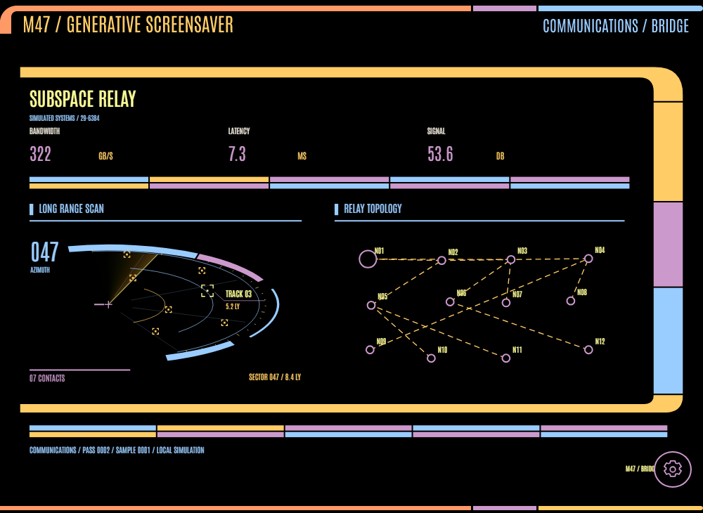
ANIMATED INSTRUMENTS.
Terrain, signals, and long-range scans.
15 terrain variants + stellar cartography and the arc scannerAll instruments use simulated data. Contour maps are static.
The scanner in context
The updated screensaver composition and README preview.